Today, maps are as important in our society as language, writing, or math. Maps convey the world around us, the differences between places, and the movement of goods, people, and ideas. With maps, social studies comes alive in a spatial dimension, clarifying and reinforcing events in time and across landscapes.
This project started in early 2013 with online surveys and focus groups of Nebraska teachers to find out what types and topics of maps they felt would be most useful for elementary and middle school classroom instruction. The Student Atlas of Nebraska was first completed in January 2015 by Dr. Randy Bertolas of Wayne State College, and updated in 2023. Accompanying lesson plans were created by elementary teacher Karen Graff, who retired from Westside Community Schools after over 30 years of service. These materials are intended to serve as ancillary resources during social studies lessons on Nebraska history, geography, government, and economics.
In 2017, the Atlas was selected as an Initiative by the Nebraska Sesquicentennial Commission. Printing of this special second edition was funded by Mutual of Omaha, the Peter Kiewit Foundation, and the Ethel S. Abbott charitable foundation. A total of 30,000 Atlases were made available to Nebraska 4th grade classrooms during the 2017-18 school year in honor of the state’s 150th birthday.
The Atlas includes maps and illustrations detailing the state’s physical geography (e.g., precipitation, landforms, vegetation), human geography (e.g., Native Americans, forts and trails, immigrant communities), economic geography (e.g., crops, livestock, transportation), and political geography (e.g., demographics, congressional districts, legislative districts). In addition, this 2nd edition addresses the Hispanic presence in Nebraska as well as specialty crops grown in the Panhandle.
The Student Atlas of Nebraska is a gift to the people of our state.
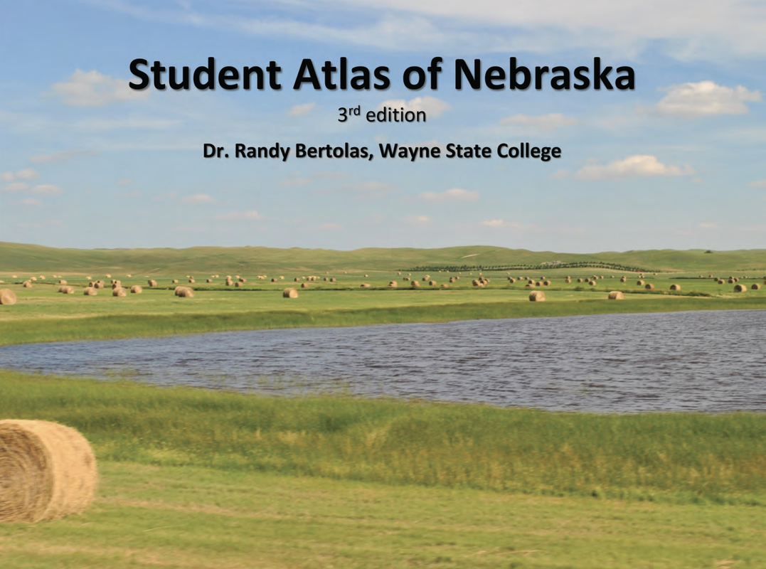
Click on the image to the left to access the file and download the Student Atlas of Nebraska
Lesson Plans to Accompany the Nebraska Atlas
|
|
|
| ||
Compare and Contrast
|
Latitude and Longitude
|
Measuring Nebraska
| ||||||||||||||||||||||||||||||||
Population
|
Scavenger Hunt
|
Water, Water Everywhere
| ||||||||||||||||||||||||||||||||||||
Vocabulary Cards (To Accompany Scavenger Hunt)
|
|
| ||||||||||||||||||
